
Texas General Land Office Monitoring Multiple Storms Systems, Commissioner Dawn Buckingham Initiating Readiness for Potential Impacts
Coastal Texans should be aware of potential tropical storm and hurricane risks
AUSTIN — Today Texas Land Commissioner Dawn Buckingham, M.D. announced that the Texas General Land Office is monitoring three active Atlantic systems with a possibility of impacting Texas.
"The Texas General Land Office stands ready to help Texans prepare for, and recover from, hurricanes and tropical storms," said Commissioner Buckingham. "The GLO is monitoring the current storm systems in the Atlantic and will increase readiness procedures as needed in accordance with emergency preparedness plans. I urge all Texans to take the time now to prepare your evacuation kits and plan evacuation routes should the need arise."
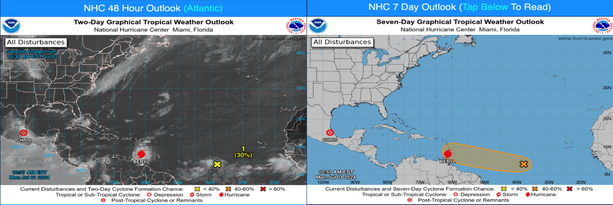
According to the National Hurricane Center, the eye of Hurricane Beryl made landfall on Carriacou Island at 11:10 AM AST. Data indicates that Beryl's maximum sustained winds have increased to 150 mph. For weather watches, warnings and advisories for Texas, visit https://alerts.weather.gov/cap/tx.php?x=1.
The GLO encourages Texans to follow the following early warning preparedness tips:
- Monitor storm systems in the Atlantic and Gulf of Mexico. Watch local news and follow the National Hurricane Center on Twitter of Facebook.
- Review your Disaster Evacuation Checklistand have your “Go Bag” ready in case of evacuation.
- Know your available evacuation routes and review them with your family. Be sure to plan multiple routes and be ready for potential road closures.
For additional safety tips related to storm surge, flooding, and other dangers, visit recovery.texas.gov/preparedness.
More Press Releases