


Online Services
PENALTY PAYMENT
Click here to make your spill payment. Please have your spill case number.
MAKE A PAYMENTONLINE PAYMENTS
Click here to make your lease/easement payment. Please have your customer ID and lease number.
MAKE A PAYMENTKey Coastal Initiatives
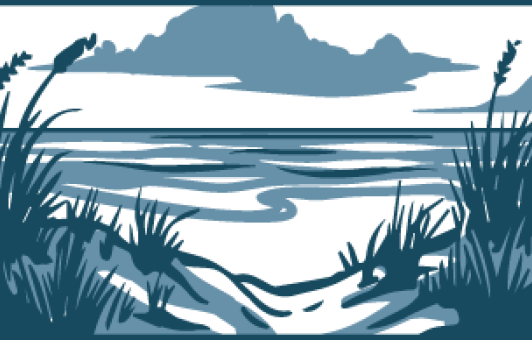
Coastal Planning
With 367 miles of Gulf beaches and more than 3,300 miles of shoreline surrounding bays and estuaries, Texas has one of the longest coastlines in the country. The GLO ensures proper management and stewardship of the Texas coast through a combination of federally partnered and state led coastal planning efforts.
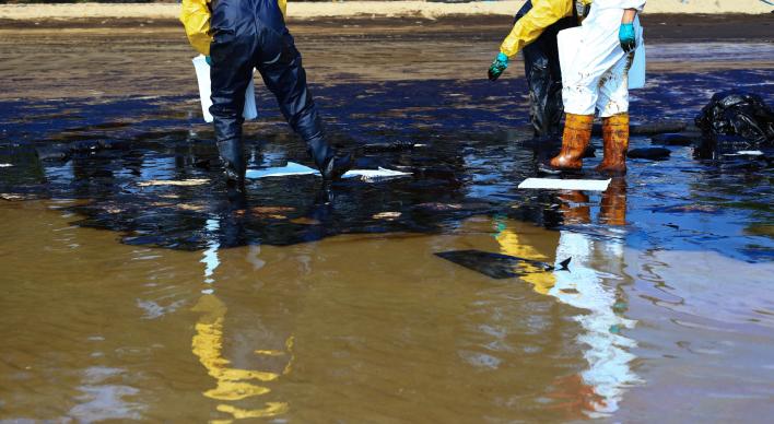
Oil Spill Prevention & Response-Industry Community
Oil Spill teams stand on call 24/7, working with the OSPRA-regulated community to support prevention and preparedness efforts and initiate a firehouse-ready response when spills occur.

Protecting the Coast for Humans and Wildlife
Through funding, regulatory oversight, planning and volunteer opportunities, we’re keeping Texas’ coasts top of mind.
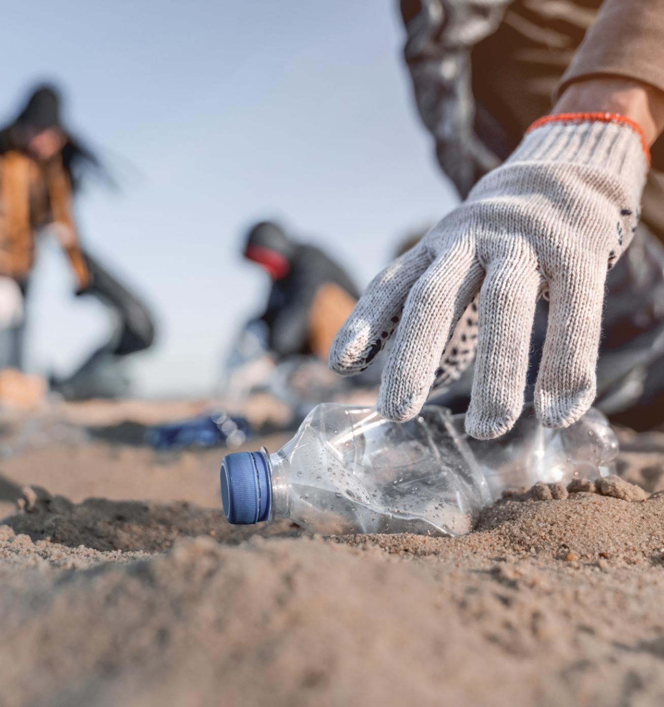
ADOPT-A-BEACH
Volunteer or donate to help ensure our Texas beaches are clean and pristine.

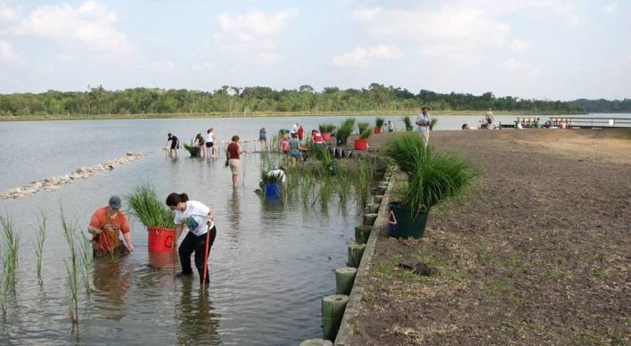
CLEAN COAST TEXAS
We help communities ensure water quality along the Texas Coast.

Texas Coast Maps
Select the map most relevant to you.

The goal of the Texas Beach Watch Web application is to provide the public with information about water quality at selected recreational beaches along the Texas coast.
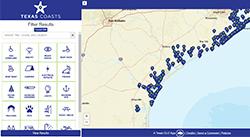
Find your perfect beach! From fishing and boat ramps, to camping and BBQ—the Texas coast provides a wealth of resources to all visitors. The GLO is proud to offer this free resource to help you explore all that our shores have to offer.
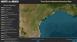
Adopt a stretch of beach today! Are you committed to helping ensure Texas beaches are trash-free? Then consider adopting one! Our adopters pledge to clean a designated stretch of Texas coastline, a minimum of three times a year for two years. Many adopters are long-time stewards of Texas beaches and renew their membership year after year. With this interactive map, learn which stretches of Texas beach are available for adoption.
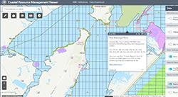
Resource Management Codes (RMCs) are assigned to state-owned tracts in Texas bays and the Gulf of America, providing development guidelines for activities within each tract. The codes enhance protection of sensitive natural resources by providing recommendations for minimizing adverse impacts from mineral exploration and development activities. The codes include recommendations from the U.S. Fish and Wildlife Service, National Marine Fisheries Service, Texas Parks and Wildlife Department, Texas Historical Commission, and the U.S. Army Corps of Engineers.
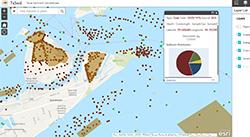
The Texas Coastal Sediments Geodatabase (TxSed) contains sediment-related geospatial and geotechnical data. TxSed can help identify compatible sediment resources for proposed beach nourishment or habitat restoration projects and can be used as an aid in the permitting/regulatory processes for such projects. If you would like to contribute data to the Texas Coastal Sediments Geodatabase (TxSed), please email us at txsed@glo.texas.gov.
"As Land Commissioner and a Texan who spent decades living on the Texas coast, preserving our beautiful coastline and vital habitats is near and dear to my heart. At the General Land Office, we pride ourselves on keeping our coasts clean, safe, and enjoyable for all Texans."
Commissioner Dawn Buckingham, M.D.
Contact Us
If you have a question about the coastal program, find the right office in our GLO Agency Directory.
GLO AGENCY DIRECTORY