


Aerial Imagery & LiDAR Data > 1980s
1989 Harris County
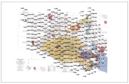
Click on an area to zoom in
Format:
Scanned and georeferenced black and white 9"x9" prints
Locations:
Harris County
Source:
Texas Natural Resource Information System (TNRIS)


Click on an area to zoom in
Format:
Scanned and georeferenced black and white 9"x9" prints
Locations:
Harris County
Source:
Texas Natural Resource Information System (TNRIS)