


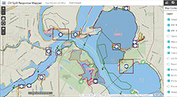
The Oil Spill Response Mapping Tool contains information from the Oil Spill Toolkit, TGLO coastal resources, and NOAA. Use the provided tools to generate reports for ICS forms, identify sensitive habitats and species, view maritime information, query spatial data, and other mapping activities.