


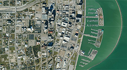
The Aerial Imagery & LiDAR Data Collection provides low-resolution catalogs of flights from 1938 to the present, for various areas within the Coastal Zone. For the high-resolution images, contact the General Land Office.


The Aerial Imagery & LiDAR Data Collection provides low-resolution catalogs of flights from 1938 to the present, for various areas within the Coastal Zone. For the high-resolution images, contact the General Land Office.