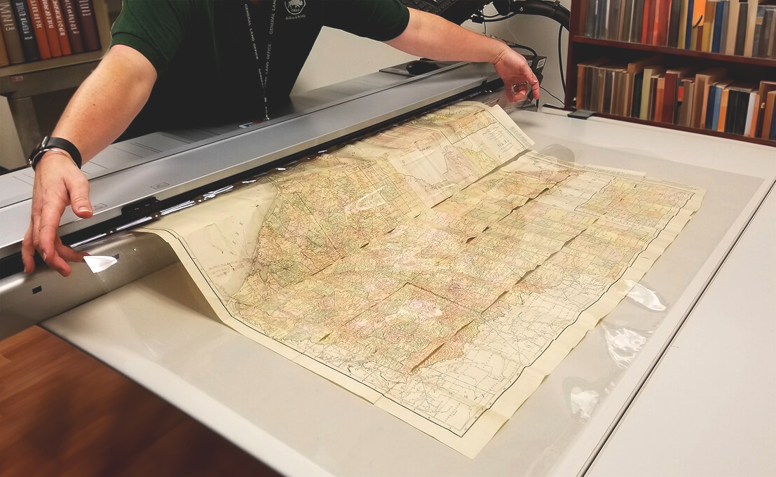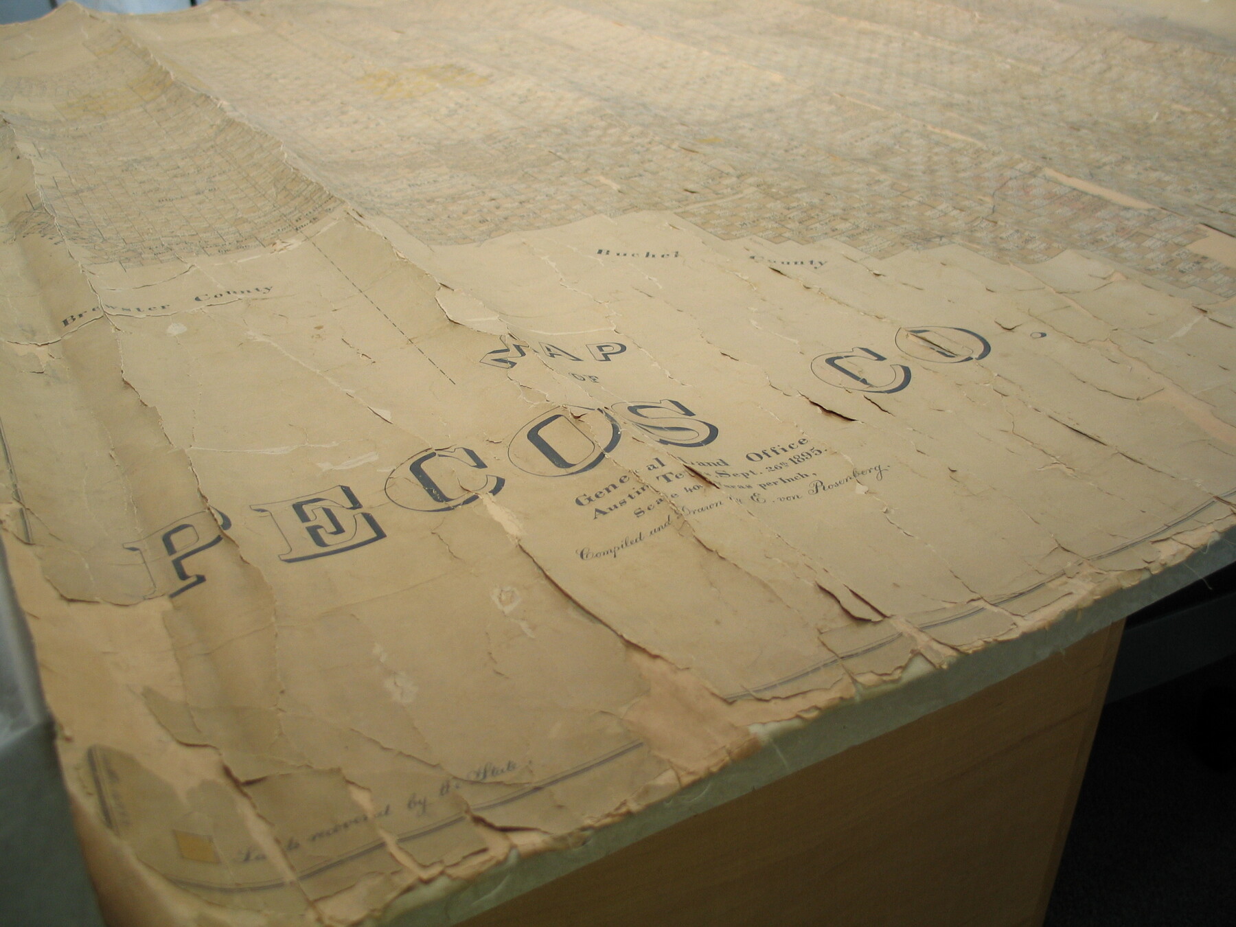
Since 2000, the Texas General Land Office Archives has been at the forefront of digitizing historic documents and maps.
Since the inception of the GLO’s scanning program in 2000, we have scanned more than 6 million full-color, hi-resolution images, with approximately 20,000 images produced every month. Many of these are available online as digital or physical reproductions.
Digitization services are available to state agencies, non-profit historical and archival institutions, and private collectors who would like their historic manuscript or map collection(s) available to the public.
We have digitized maps and manuscript collections for institutions such as the Texas State Library and Archives Commission, and the Sons of the Republic of Texas, as well as several private collectors.
If you have a manuscript or map collection that you would like to inquire about digitizing and making available through the Texas General Land Office, please contact archives@glo.texas.gov.


